Scald Hill
Hill In The Cheviots, Northumberland
Climb up 549m to bag Scald Hill in The Cheviots.
Height - 549m
Login to be able to bag hill and see which hills are left on your to do list.
Login To Bag Hills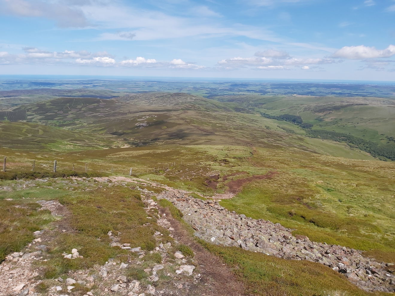
If you're heading up The Cheviot, the tallest hill in the Northumberland National Park, then a favourite route is via Scald Hill. But Scald Hill is no tinch itself as it stands at a canny 549m high.
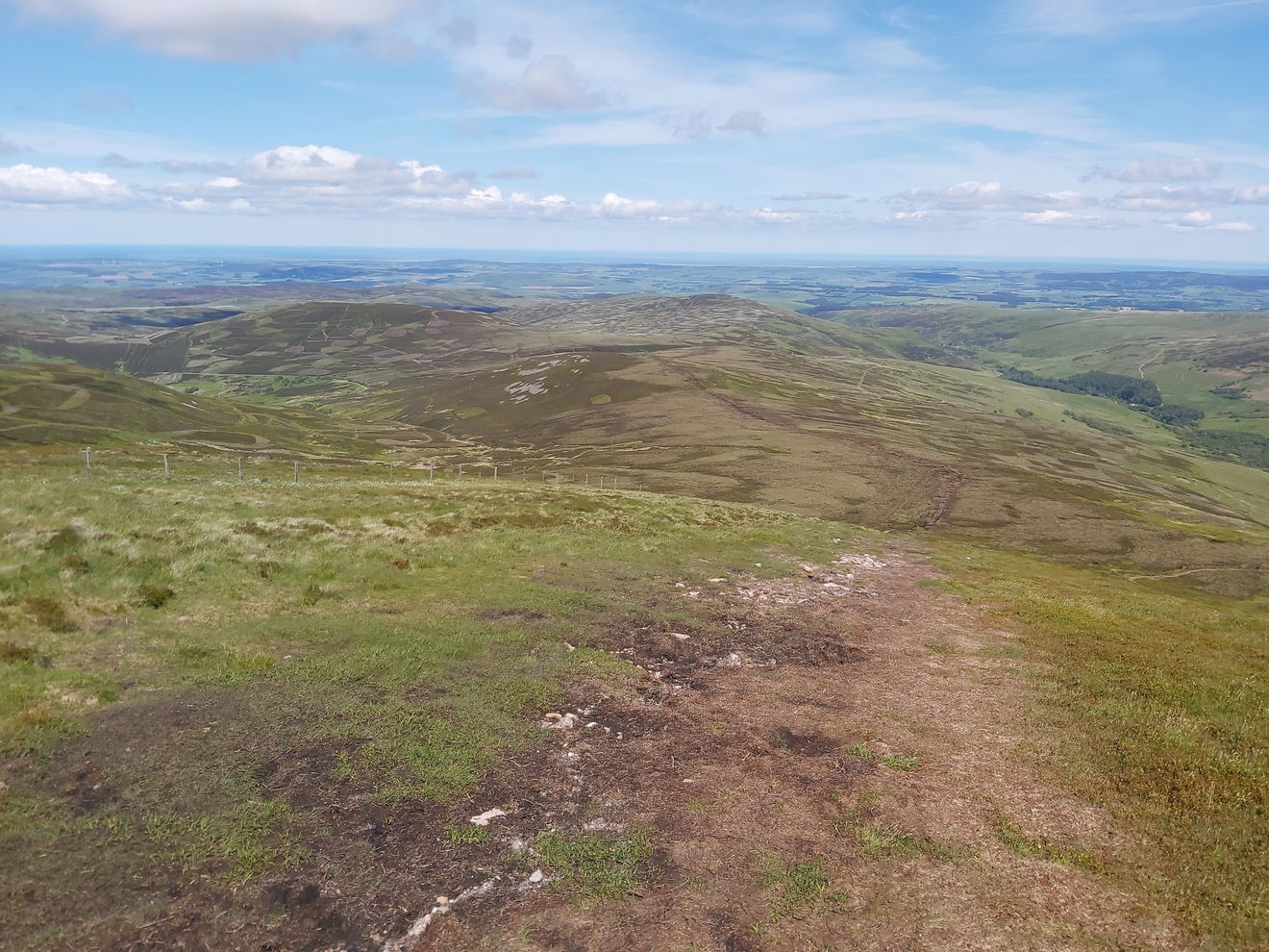
Best bagging is to park at Langleeford which is pretty much right at the foot of Scald Hill, and tghen head up via a well marked (and boggy in parts) path.
Follow the route above or find it on OS Maps. Just under 3km to the top with 326m of ascent.
Login to be able to bag hills and see which hills are left on your to do list.
Login To Bag HillsHow To Find Scald Hill
Where To Park For Scald Hill?
Lat / Long
55.496402, -2.07432
What three words
Park in the grassy area at Langleeford.
More Hills Near The Cheviots
Find more hills near to The Cheviots, Northumberland.


Find Us On Facebook
Come and join our friendly Facebook group and share photos of your hill bagging.
Or ask any questions about hill bagging in the Cheviots.
Join Cheviot 99 Challenge Facebook Group