Sandy Pike
Hill In The Cheviots, Northumberland
Climb up 476m to bag Sandy Pike in The Cheviots.
Height - 476m
Login to be able to bag hill and see which hills are left on your to do list.
Login To Bag Hills

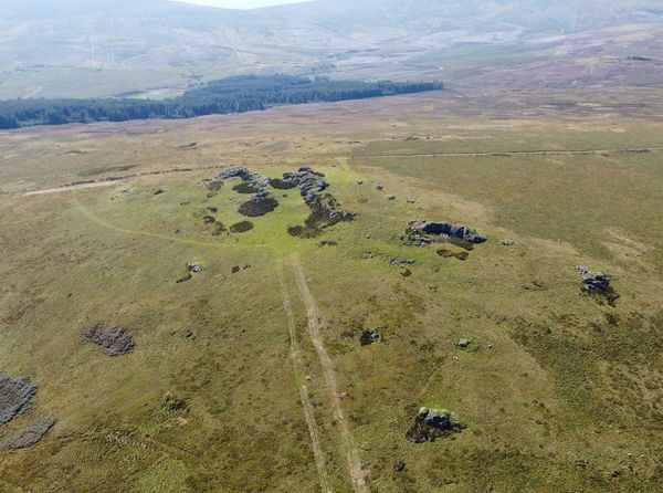
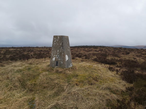
Just north of Bryness and Catcleugh Reservoir you will find a chunky cairn marking the top of Sandy Pike.
This is a straight forward bagging by parking in the layby on the A68 and then just following the forest track up all the way to Sandy Pike. When you're done, why not take a little diversion to the magnificent Echo Crags.
Follow the route above or find it on OS Maps. Around 4.5km and 289m of climbing.
To get more hill bagging on this jaunt, follow our walk to Byrness, Hungry Law, Lumsdon Law and Echo Crags
Login to be able to bag hills and see which hills are left on your to do list.
Login To Bag HillsHow To Find Sandy Pike
Where To Park For Sandy Pike?
Lat / Long
55.321165, -2.379574
What three words
Park in the layby just off the A68.
More Hills Near The Cheviots
Find more hills near to The Cheviots, Northumberland.
Find Us On Facebook
Come and join our friendly Facebook group and share photos of your hill bagging.
Or ask any questions about hill bagging in the Cheviots.
Join Cheviot 99 Challenge Facebook Group


